
LAI mapping over Ruokolahti ..and some other Finnish sites - PowerPoint PPT Presentation
Title:
LAI mapping over Ruokolahti ..and some other Finnish sites
Description:
LAI mapping over Ruokolahti ''and some other Finnish sites – PowerPoint PPT presentation
Number of Views:22
Avg rating:3.0/5.0
Title: LAI mapping over Ruokolahti ..and some other Finnish sites
1
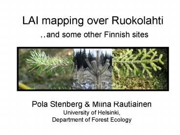
LAI mapping over Ruokolahti ..and some other
Finnish sites
- Pola Stenberg Miina Rautiainen
- University of Helsinki,
- Department of Forest Ecology
2
MODIS Ruokolahti site
- Located in Puumala in south-eastern Finland (61o
31.6' N, 28o 42.4' E), measured in June 2000 and
2001. - Managed forest dominated by Scots pine (Pinus
sylvestris L.) with Norway spruce (Picea abies
(L.) Karst.) as subdominant species.
June 2000
3
Measurement design
LAI and forest stand inventory measurements taken
in a 1 km x 1 km grid with 400 regularly spaced
grid points.
ETM7 RGB 543
LAI-2000 PCA
GPS
4
Other recent sites...
- Similar design
- Suonenjoki 2001
- VALERI sites
- Hirsikangas 2003
- Rovaniemi 2004
5
LAI distribution
6
Analysis methods
- (1) Spectral vegetation indices
- (2) MODIS LAI algorithm
- (3) Inversion of Kuusk-Nilson model
- (4) PARAS model
7
Spectral vegetation indices
Stenberg, Rautiainen, Manninen, Voipio,
Smolander, H. 2004. Reduced simple ratio better
than NDVI for estimating LAI in Finnish pine and
spruce stands. Silva Fennica, 38 (1) 3-14.
8
- RSR performed best of the studied SVIs
9
Improved results when restricting to homogeneous
plots but separating between species (pine and
spruce) did not improve correlation with LAI
10
(No Transcript)
11
(2) MODIS LAI algorithm
Wang, Woodcock, Buermann, Stenberg, Voipio,
Smolander H, Häme, Tian, Hu, Knyazikhin, Myneni.
2004. Evaluation of the MODIS LAI algorithm at
a coniferous forest site in Finland. Remote
Sensing of Environment 91(1)114-127
12
- Rather poor correlation between field measured
and retrieved LAI at the pixel scale - (ETM, 30 m x 30 m).
- Improved correlation at patch scale however,
significant overestimation by the algorithm
remained.
13
(3) Inversion of Kuusk-Nilson model
Rautiainen, Stenberg, Nilson, Kuusk Smolander,
H. 2003. Application of a forest reflectance
model in estimating leaf area index of Scots pine
stands. Canadian Journal of Remote Sensing, 29
(3) 314-323.
14
Results
- Calculating true LAI from LAI-2000 PCA
measurements with Nilsons (1999) algorithm
15
Inversion results
16
(4) PARAS model
Simple parameterization using the canopy
structural parameter p defined in Panferov,
Knyazikhin, Myneni, Szarzynski, Engwald,
Schnitzler Gravenhorst. 2001. The role of
canopy structure in the spectral variation of
transmission and absorption of solar radiation in
vegetation canopies. IEEE Trans. Geosci. Remote
Sens. 39(2)241-253. With correction for
within-shoot scattering by Smolander, S
Stenberg. 2003. A method to account for shoot
scale clumping in coniferous canopy reflectance
models. Remote Sensing of Environment, 88
363-373.
17
18
p as a function of LAI in uniform leaf and shoot
canopies
Smolander, S Stenberg, P. 2004. Simple
parameterizations for the radiation budget of
uniform broadleaved and coniferous canopies
(submitted).
19
Simulated and measured BRFs
20
(No Transcript)
21
Summary
- Good performance of RSR for estimating LAI, but
regressions are site specific and sensor
dependent. Useful for creating validation data. - Promising results by the physically based models
and parameterization methods.
22
What next?
- yes, what? ?
- Current activity focuses on specific problems
related to Finnish forests the small scale
spatial variability and the disturbing signal
from mixed green understorey.
23
(No Transcript)
Recommended
CrystalGraphics Presentations


