
TreeTops PowerPoint PPT Presentation
1 / 8
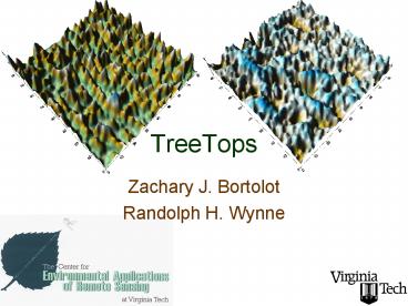
Title: TreeTops
1
TreeTops
- Zachary J. Bortolot
- Randolph H. Wynne
2
TreeTops
- Earth Science Application Areas
- Agricultural (Forest) Productivity
- Carbon Management
- Current End-Users
- International Paper
- Landmark (potential purchaser)
- Targeted End-Users
- All organizations with a need for fine-scale
forest carbon accounting - NASA scientists (MOD17 validation)
3
TreeTops Description
- The Tree Tops system consists of a suite of
programs for delineating individual trees in
forest stands using high spatial resolution
optical data or small footprint LiDAR imagery,
and uses this information to determine stand
density or biomass. - Tree Tops was designed to adapt to the different
forest and image types that users may encounter.
It does this by using generic properties of trees
found in many types of imagery, and parameters
that control how these generic properties are
used. The parameters are set for a specific area
using training data consisting of plots in which
the number of trees and biomass are known, the
imagery corresponding to the plot, and an
optimization algorithm (choice of genetic or
Nelder-Mead Simplex). - Informed of TreeTops through our outreach efforts
with our core constituents and stakeholders, two
representatives of IP flew to Blacksburg in
mid-September to discuss use of this approach in
their inventory systems. (IP owns more than 12
million acres of timberland.) A 2nd field trial
is now underway.
4
Tree Tops Societal Implications
- Spatially-explicit monitoring of forest biomass
is critical to the function of emerging carbon
markets (Chicago Climate Exchange, Carbon Market
Europe). In addition, continued productivity and
competitiveness in this important economic sector
requires more spatially-targeted monitoring and
management of forest resources. As such, with
funding from VA-MAGIC, important societal
benefits in each of these Earth Science
Application Areas are being realized.
5
TreeTops
IGSCR Automation
- Rebecca F. Musy
- Randolph H. Wynne
6
IGSCR
- Earth Science Application Areas
- Agricultural (Forest) Productivity
- Carbon Management
- Current End-Users
- USDA Forest Service
- State Departments of Forestry
- Targeted End-Users
- All users that can benefit from an automated,
accurate, objective, and repeatable
classification protocol
7
IGSCR Description
- The IGSCR algorithm is an operational image
classification protocol developed expressly for
USDA Forest Service FIA forest area estimation.
On a recent test across two USDA Forest Service
regions, forest area estimates derived using the
automated IGSCR protocol met or exceeded the USDA
Forest Service precision requirement of less than
3 per million acres timberland. The protocol has
also been used successfully by the Commonwealth
of Virginia to operationally map the
Commonwealths timberland such that the resulting
area estimates met USDA Forest Service precision
requirements. With the now-automated IGSCR,
forest area estimation is now simple, accurate,
and repeatable across users, regions and time.
8
IGSCR Societal Implications
- Spatially-explicit monitoring of forest area is
a USDA Forest Service mandate and is critical to
the function of emerging carbon markets (Chicago
Climate Exchange, Carbon Market Europe). In
addition, continued sustainable productivity and
competitiveness in this important economic sector
requires more spatially-targeted monitoring and
management of forest resources. As such, with
funding from VA-MAGIC, important societal
benefits in each of these Earth Science
Application Areas are being realized via
implementation of NASA-sponsored technology by
another federal agency.
Recommended
