
GIS Analysts: Mapping the Future with Spatial Data PowerPoint PPT Presentation
Title: GIS Analysts: Mapping the Future with Spatial Data
1
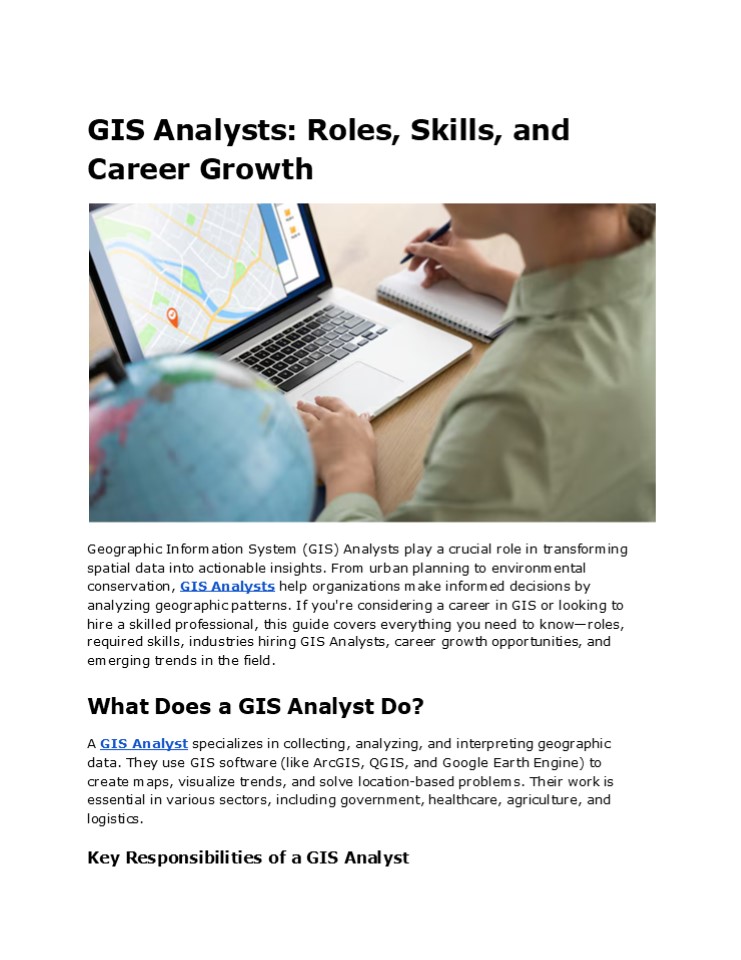
GIS Analysts Roles, Skills, and Career Growth
Geographic Information System (GIS) Analysts play
a crucial role in transforming spatial data into
actionable insights. From urban planning to
environmental conservation, GIS Analysts help
organizations make informed decisions by
analyzing geographic patterns. If you're
considering a career in GIS or looking to hire a
skilled professional, this guide covers
everything you need to knowroles, required
skills, industries hiring GIS Analysts, career
growth opportunities, and emerging trends in the
field. What Does a GIS Analyst Do? A GIS Analyst
specializes in collecting, analyzing, and
interpreting geographic data. They use GIS
software (like ArcGIS, QGIS, and Google Earth
Engine) to create maps, visualize trends, and
solve location-based problems. Their work is
essential in various sectors, including
government, healthcare, agriculture, and
logistics. Key Responsibilities of a GIS Analyst
2
- Data Collection Management Gathering spatial
data from satellites, drones, surveys, and public
records. - Mapping Visualization Designing interactive
maps for urban planning, disaster response, and
business intelligence. - Spatial Analysis Identifying patterns in
demographics, land use, or environmental changes. - Geoprocessing Automation Using Python, R, or
SQL to automate repetitive GIS tasks. - Reporting Decision Support Presenting findings
to stakeholders to guide policy and business
strategies. - Industries That Rely on GIS Analysts
- Government Urban Planning City development,
zoning, and infrastructure projects. - Environmental Science Tracking deforestation,
climate change, and wildlife conservation. - Healthcare Mapping disease outbreaks, hospital
accessibility, and public health trends. - Transportation Logistics Optimizing delivery
routes, traffic management, and fleet tracking.
Essential Skills for GIS Analysts To excel in
this field, GIS Analysts need a mix of technical
expertise and soft skills. Technical Skills
3
- GIS Software Proficiency ArcGIS, QGIS, GRASS
GIS, and Google Earth Engine. - Database Management SQL, PostgreSQL, and
spatial databases. - Programming Scripting Python (ArcPy,
GeoPandas), R, and JavaScript for web mapping
(Leaflet, D3.js). - Remote Sensing Analyzing satellite and drone
imagery (LiDAR, NDVI). - Cartography Data Visualization Creating
clear, informative maps using tools like Tableau
or Power BI. - Soft Skills
- Problem-Solving Interpreting spatial data to
provide actionable solutions. - Communication Explaining complex findings to
non-technical stakeholders. - Attention to Detail Ensuring accuracy in maps
and reports. - Project Management Handling multiple GIS
projects efficiently.
- Career Growth Salary Expectations
- The demand for GIS Analysts is growing, with the
U.S. Bureau of Labor Statistics projecting a 7
increase in jobs by 2030. Salaries vary based on
experience, industry, and location - Entry-Level GIS Analyst 50,00050,00065,000/year
- Mid-Career GIS Specialist 70,00070,00090,000/ye
ar - Senior GIS Analyst/Manager 100,000
- How to Increase Your Earning Potential
4
- Certifications GISP (GIS Professional), Esri
certifications, or FAA Part 107 for drone
mapping. - Advanced Degrees A master's in GIS, geospatial
science, or data analytics. - Specializations Remote sensing, urban planning,
or environmental GIS.
- How to Become a GIS Analyst
- Education Training
- A bachelors degree in geography, environmental
science, GIS, or computer science. - Online courses (Coursera, Udemy, Esri Academy)
for specialized skills. - Gain Hands-On Experience
- Internships with government agencies,
environmental firms, or tech companies. - Freelance GIS projects (e.g., OpenStreetMap
contributions). - Build a Strong Portfolio
- Showcase maps, spatial analyses, and automation
scripts. - GitHub repositories for code samples.
Emerging Trends in GIS
5
- AI Machine Learning in GIS
- Automated feature detection in satellite imagery.
- Predictive modeling for urban growth and disaster
response. - Real-Time GIS IoT Integration
- Smart city applications (traffic monitoring, air
quality sensors). - Fleet tracking and logistics optimization.
- 3D GIS Virtual Reality (VR)
- Urban planning with 3D city models.
- Immersive GIS for disaster simulation.
- Open-Source GIS Tools
Conclusion The Future of GIS Analysts GIS
Analysts are indispensable in todays data-driven
world. From smart cities to precision
agriculture, their expertise in Geographic
Information Systems helps organizations optimize
operations and sustainability. The field is
evolving with AI, real-time data, and 3D mapping,
creating exciting opportunities for
professionals. Whether you're an aspiring GIS
Analyst or an employer seeking top talent,
staying updated with industry trends and
continuously improving technical skills will
ensure success in this dynamic field. Ready to
explore GIS careers? Start by enhancing your
technical skills, networking with industry
professionals, and gaining hands-on experience to
unlock exciting opportunities!
Recommended
