
www.ngs.noaa.gov PowerPoint PPT Presentation
Title: www.ngs.noaa.gov
1
www.ngs.noaa.gov
2
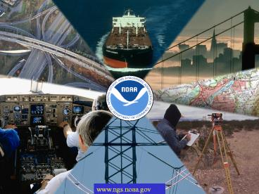
We dont make maps but we make accurate,
consistent maps possible.
We dont build bridges but we help you safely
reach the opposite shore.
3
NOAA Promotes Safe Navigation
4
Geographic Information Systems
5
Airport Digital Obstruction Chart used as a GIS
layer
6
NGS projects in Maryland
7
Fort McHenry
8
- Information Services
- NSRS
- Geodetic Tool Kit/Software
- State Advisor Program
- Workshops
- Publications
- Help Desk
9
GPS Partnering for Restoration
10
(No Transcript)
11
(No Transcript)
12
Height Modernization is
13
Height Modernization
14
Shoreline Mapping
NOAA is mandated to provide the National shoreline
15
Airport Safety
16
NGS develops Standards and Specifications
and plays a leading role in the development of
FGDC standards
17
GPS on a Buoy
SWaPSShallow Water Positioning System
18
Data Fusion ResearchShoreline Extractionand
Feature Attribution
Lidar derived shoreline
Hyperspectral Classified image
Feature attributed lidar-derived shoreline
superimposed on an orthorectified image
Recommended
