
Why is the Lake District shaped as it is PowerPoint PPT Presentation
1 / 12
Title: Why is the Lake District shaped as it is
1
Why is the Lake District shaped as it is?
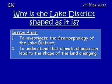
CW
2nd May 2007
- Lesson Aims
- To investigate the Geomorphology of the Lake
District - To understand that climate change can lead to the
shape of the land changing.
2
(No Transcript)
3
Wordsworth likened the shape of the Lake District
to that of the Spokes of a wheel
4
Key Words
- Geomorphology
- u-shaped valley
- Scree slope
- Ribbon Lake
- Glacier
- Freeze-thaw
The study of Landforms A valley shaped into a
u by a glacier A slope made from loose
rock A thin but long lake which lies in a trench
dug by a glacier A river of ice moving down a
valley, formed from snow and ice put under
pressure When water gets into cracks in rocks,
then freezes causing the rock to break-up
5
How the Lake District was formed
Old sedimentary rock, worn away later by ice
Metamorphic rocks formed when lava touched older
rock
Igneous rock pushed upwards by lava
6
From above
Ice eroded the rocks to form a dome shaped
landscape
The lakes are arranged like the spokes of a wheel
High Land
lake
7
Glaciation in the Lake District
- Why did glaciation occur?
- Glaciation occurred in Britain during an
Ice-age. The last ice age started about 1.5
million years ago, and ended about 12000 years
ago. During this time, much of Britain was
covered in ice due to temperatures being much
colder than today
8
During the last ice age this is the area of UK
covered in ice and Glaciers
Lake District
Dudley
9
Glaciation in the Lake District
- How did glaciation shape the land?
- In the Lake District, the land is high in many
places. Snow and ice compressed over time to fill
the valleys with glaciers. Over millions of years
these glaciers moved, removing rock and shaping
the land as we know it today
10
(No Transcript)
11
Task
- From the Lake District booklet, complete task 5
6
12
Conclusion
- 3 things Ive learnt today
Recommended
