
US Army Corps of Engineers - PowerPoint PPT Presentation
1 / 2
Title:
US Army Corps of Engineers
Description:
US Army Corps of Engineers National Levee Database 3D centerline, cross sections, structures, crossings, subsurface, recent inspection and other data on 1100 miles of ... – PowerPoint PPT presentation
Number of Views:177
Avg rating:3.0/5.0
Title: US Army Corps of Engineers
1
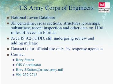
US Army Corps of Engineers
- National Levee Database
- 3D centerline, cross sections, structures,
crossings, subsurface, recent inspection and
other data on 1100 miles of levees in Florida. - ArcGIS 9.2 pGDB, still undergoing review and
adding mileage - Dataset is for official use only, by response
agencies - Contact
- Rory Sutton
- GIS Coordinator
- Rory.J.Sutton_at_usace.army.mil
- 904-232-2743
2
US Army Corps of Engineers
- Herbert Hoover Dike Inundation Maps
- Map series depicting inundation due to breaching
of HHD with Lake Okeechobee at three different
levels - ESRI floating point Grids for the various breach
locations and Lake levels - Dataset is for official use only, by response
agencies - Contact
- Brent Trauger
- Dam Safety Program Manager
- Brent.Trauger_at_usace.army.mil
- 904-232-2468
Recommended
CrystalGraphics Presentations


