Plate Tectonic Map of the Earth - PowerPoint PPT Presentation
1 / 12
Title:
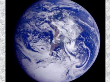
Plate Tectonic Map of the Earth
Description:
The Theory of Continental Drift Continental drift was proposed by Alfred Wegener He used the following ideas to support his theory: 1. The fit of the continents 2. – PowerPoint PPT presentation
Number of Views:283
Avg rating:3.0/5.0
Title: Plate Tectonic Map of the Earth
1
(No Transcript)
2
The Theory of Continental Drift
3
- Continental drift was proposed by Alfred Wegener
- He used the following ideas to support his
theory - 1. The fit of the continents
- 2. The distribution of fossils
- 3. Similar sequence of rocks
- 4. Ancient climates
- 5. The wandering of the Earth's polar regions
- Wegener used his observations to hypothesize that
all of the present-day continents were once part
of a single supercontinent called Pangaea
4
The Fit of the Continents
animation
5
- Fossils of the same species were found on several
different continents. - For example, Glossopteris, a fern, was found on
the continents of South America, Africa, India,
and Australia. If the continents are reassembled
into Pangaea, the distribution of Glossopteris
can be accounted for over a much smaller area.
6
Distribution of Similar Fossils
7
Continental Drift - Rock Sequences
8
Continental Drift - Glaciation
9
(No Transcript)
10
Sea-Floor Spreading
- In 1962, Harry Hess proposed that new ocean floor
is formed at the mid-ocean ridges. The ocean
floor is produced by magma that rises from the
Earths interior. - Hess suggested that the ocean floor moved away
from the ridge and plunged into an oceanic trench
along the continentals.
11
(No Transcript)
12
(No Transcript)


