
Navigational Aids - PowerPoint PPT Presentation
1 / 12
Title:
Navigational Aids
Description:
The speed of modern aircraft requires more sophisticated navigational systems than those of the past. To use the inertial navigation system, ... – PowerPoint PPT presentation
Number of Views:1141
Avg rating:3.0/5.0
Title: Navigational Aids
1
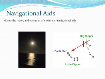
Navigational Aids
- Know the theory and operation of modern air
navigational aids
2
Navigational Aids
- Describe the theory and use of a Doppler System
- Describe the theory and use of a Navigational
Radar System - Describe the theory and use of a Inertial
Navigation System (INS) - Describe the theory and use of Global Positioning
System (GPS)
3
The Doppler Effect
- Named after Christian Johan Doppler, a German
mathematician who discovered the principle of
Doppler effect. - Doppler effect can be observed by listening to a
passing racecar.
4
Radar
- The term radar stands for Radio Detection and
Ranging. - Echo principle.
- The radar antenna relays the signal to an onboard
computer where it is displayed on a radarscope.
Radar Uses Land Navigation Landing Aid Detection
and Surveillance Imagery
5
Radar
6
Doppler
7
Doppler Radar
- By using the principle of frequency shift and a
computer, you can measure the movement of an
aircraft over the ground. - The Doppler system constantly adjusts to changes
in wind direction, aircraft altitude, engine
power, and it gives instantaneous indications of
each.
8
Doppler
If you can tell movement in the V1-V4 axis, when
compared to aircraft True Heading and True
Airspeed, go you not tell Track and
Groundspeed? And therefore Wind Direction and
Velocity?
9
Inertial Navigation System (INS)
- The speed of modern aircraft requires more
sophisticated navigational systems than those of
the past. - To use the inertial navigation system, an
accurate fix inserted as a starting point - Accelerometer senses change in direction or speed
based on these changes the INS calculates
navigational information course, speed, distance
to go, etc.
10
GPS
- The Global Positioning System (GPS) is a
satellite-based navigation system made up of a
network of 24 satellites placed into orbit by the
U.S. Department of Defense - GPS satellites circle the earth twice a day in a
very precise orbit and transmit signal
information to earth. GPS receivers take this
information and use triangulation to calculate
the user's exact location..
11
GPS
- The Global Positioning System (GPS) is a
satellite-based navigation system made up of a
network of 24 satellites placed into orbit by the
U.S. Department of Defense - GPS satellites circle the earth twice a day in a
very precise orbit and transmit signal
information to earth. GPS receivers take this
information and use triangulation to calculate
the user's exact location..
12
Navigational Aids
- Know the theory and operation of modern air
navigational aids
Recommended
CrystalGraphics Presentations


