
Pixxel - Provider of satellite-based Earth imaging solutions - PowerPoint PPT Presentation
Title:
Pixxel - Provider of satellite-based Earth imaging solutions
Description:
Pixxel is a space data company, building a constellation of hyperspectral earth imaging satellites and the analytical tools to mine insights from that data. The constellation is designed to provide global coverage every 24 hours, with the aim of detecting, monitoring and predicting global phenomena. – PowerPoint PPT presentation
Number of Views:3
Title: Pixxel - Provider of satellite-based Earth imaging solutions
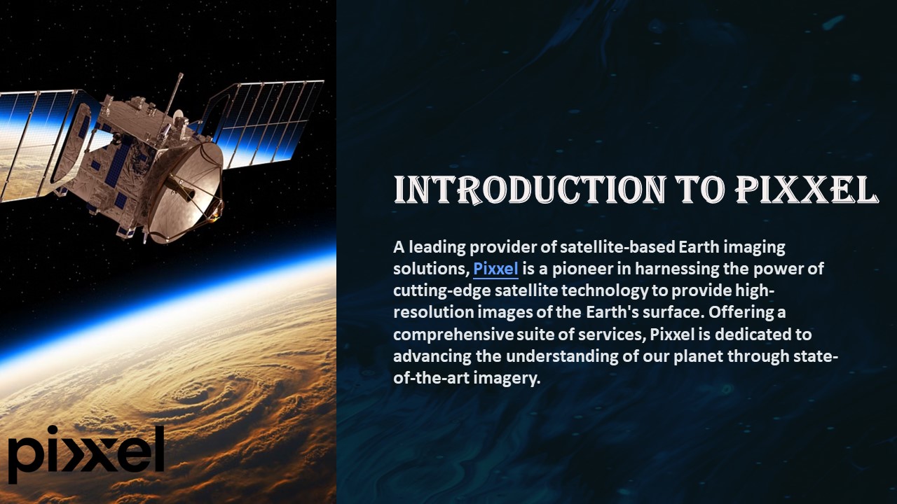
1
Introduction to Pixxel
A leading provider of satellite-based Earth
imaging solutions, Pixxel is a pioneer in
harnessing the power of cutting-edge satellite
technology to provide high-resolution images of
the Earth's surface. Offering a comprehensive
suite of services, Pixxel is dedicated to
advancing the understanding of our planet through
state-of-the-art imagery.
2
Our satellite-based Earth imaging solutions
1
High-Resolution Imaging
Our technology delivers detailed, high-resolution
images of the Earth's surface, enabling precise
analysis and assessment.
2
Data Analysis
We provide advanced data analysis tools to
extract valuable insights from the imagery,
supporting a wide range of applications.
3
Real-Time Monitoring
With our satellite network, we offer real-time
monitoring capabilities for timely and informed
decision-making.
3
Applications and industries we serve
Agriculture
ENERGY
Environment
Our imagery solutions are leveraged for precision
agriculture, optimizing crop management and yield
prediction.
Energy Satellite Imagery - satellite monitoring
through hyperspectral images, you can plan and
strategies infrastructure and energy related needs
satellite imagery helps monitor what is going on
in the world, assess environmental changes,
examine previous data, and report. Satellites are
even being used to track deforestation.
4
Our global network of satellites
High-Precision Satellites
Global Connectivity
Real-Time Monitoring
Our advanced satellites provide high-precision
imagery with global coverage.
Our network ensures seamless connectivity for
data transmission and accessibility.
Offering real-time monitoring capabilities,
enabling prompt decision-making based on current
data.
5
Case studies and success stories
Enhancing Agricultural Productivity
Case study showcasing the impact of our imagery
solutions on enhancing agricultural productivity
and resource allocation.
Urban Development Planning
Success story illustrating the use of our
technology in urban development planning and
infrastructure optimization.
Environmental Impact Assessment
Highlighted case study focusing on the use of our
imagery for environmental impact assessment and
sustainability initiatives.
6
Contact us for more information
Office Locations
USA 2301, Rosecrans Ave, Suite 4150, El
Segundo, CA 90245
India Third Floor, 722, Chinmaya Mission
Hospital Rd, Stage 2, Hoysala Nagar, Indiranagar,
Bengaluru, Karnataka 560038
https//www.pixxel.space/
Recommended
CrystalGraphics Presentations


