Surveying Underwater – Hydrographic and Bathymetric Surveys in Dubai - PowerPoint PPT Presentation
Title:
Surveying Underwater – Hydrographic and Bathymetric Surveys in Dubai
Description:
Find the Best Marine & Hydrographic Survey Equipment Suppliers in Dubai UAE? Contact Mer-subsea.com we provides the Best Environmental Equipment Suppliers, ROV tooling Suppliers, Marine Solutions, Seismic Solutions, Designed Solutions & Geotechnical Equipment Suppliers in Dubai UAE – PowerPoint PPT presentation
Number of Views:5
Title: Surveying Underwater – Hydrographic and Bathymetric Surveys in Dubai
1
Surveying Underwater - Hydrographic and
Bathymetric Surveys in Dubai
Did you know that land surveyors are also
responsible for surveying water, including the
depths of the oceans? These types of surveys are
called hydrographic and bathymetric surveys. The
data collected during a hydrographic survey
includes water depth, contours along the bottom,
the direction of the current, high water marks,
and any underwater landmarks or even shore
landmarks that may aid in navigating the waterway.
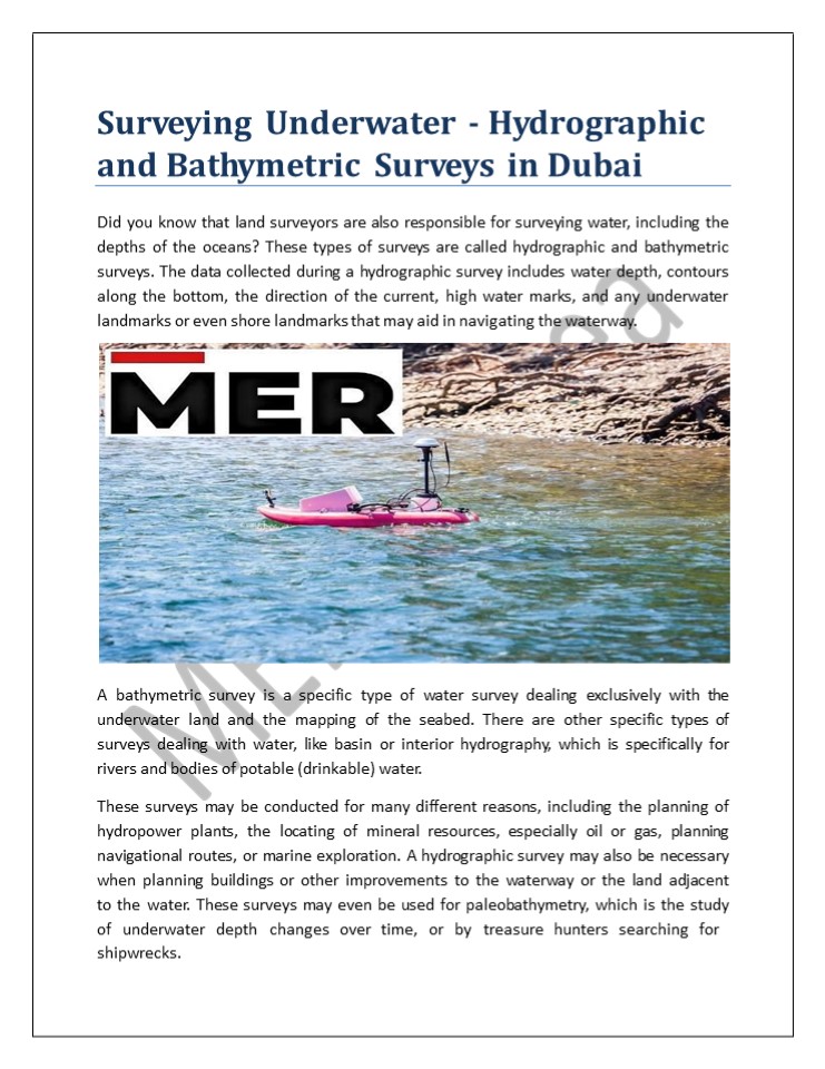
A bathymetric survey is a specific type of
water survey dealing exclusively with the
underwater land and the mapping of the
seabed. There are other specific types of
surveys dealing with water, like basin or
interior hydrography, which is specifically for
rivers and bodies of potable (drinkable)
water. These surveys may be conducted for many
different reasons, including the planning of
hydropower plants, the locating of mineral
resources, especially oil or gas, planning
navigational routes, or marine exploration. A
hydrographic survey may also be necessary when
planning buildings or other improvements to the
waterway or the land adjacent to the water. These
surveys may even be used for paleobathymetry,
which is the study of underwater depth
changes over time, or by treasure
hunters searching for
shipwrecks.
2
Unlike most land surveys conducted on dry land,
hydrographic and bathymetric surveys cannot
usually be conducted by physically visiting and
measuring the area in question. Surveying of
bodies of water has been around in at
least a rudimentary form for centuries the
practice began long ago as a navigational
aid for sailors. The first bathymetric
surveys were conducted using heavy rope or cable
lowered over the side of a ship to measure the
depth at that point. Because this allows the
measuring of only one point at a time, it is
quite inefficient. Since the boat is constantly
moving, this method is also not very
accurate. Today, these high-tech surveys are
actually conducted using GPS, sonar, and LIDAR or
LADAR systems. These processes measure the time
it takes for a sound or light to travel through
the water, bounce off the sea floor, and
return to the sounding equipment. They can
take hundreds of measurements in a single
pass, and store the depth, the exact
location (using GPS technology), and other
survey information. Some of these processes
are conducted by airplanes, while other surveying
equipment may be carried by boats. Modern
hydrographic and bathymetric surveys use multiple
beams arranged to cover a swath of 90 to 170
degrees, producing a very accurate map with much
fewer passes over the seafloor than are required
with single beam equipment. Today's surveying
equipment produces several soundings for every
square foot of the water's surface. Once the
readings have been received, they are
processed by sophisticated computer equipment
to account for many variables, such as the
bending of sound waves due to water qualities
like temperature and pressure, which vary as the
beam travels through the depth of the
water. The end result includes a computer-
generated visual image of the seabed (known
as a digital terrain model) along with
other details. A bathymetric chart produced in
this manner usually shows contour lines (known
as depth contours or isobaths) at selected
depths, similar to what might be found on a
contour map of dry land. Find the Best Marine
Hydrographic Survey Equipment Suppliers in
Dubai UAE? Contact Mer-subsea.com we
provides the Best Environmental Equipment
Suppliers, ROV tooling Suppliers, Marine
Solutions, Seismic Solutions, Designed
Solutions Geotechnical Equipment Suppliers in
Dubai UAE Article - https//mersubsea.w
ordpress.com/2022/05/11/surveying-underwater-
hydrographic-and-bathymetric-surveys-in-dubai/

