
Examples of Science Drivers Subsurface Hydrology - PowerPoint PPT Presentation
1 / 9
Title:
Examples of Science Drivers Subsurface Hydrology
Description:
Evaluation of water and solute transport through mountain blocks and into a terminal lake ... Evaluation of background tectonic heat flow ... – PowerPoint PPT presentation
Number of Views:63
Avg rating:3.0/5.0
Title: Examples of Science Drivers Subsurface Hydrology
1
Examples of Science DriversSubsurface Hydrology
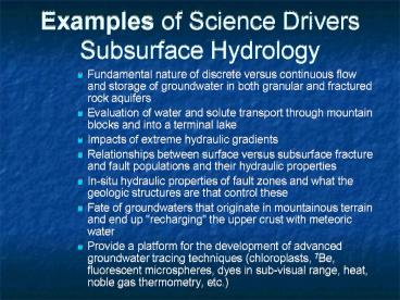
- Fundamental nature of discrete versus continuous
flow and storage of groundwater in both granular
and fractured rock aquifers - Evaluation of water and solute transport through
mountain blocks and into a terminal lake - Impacts of extreme hydraulic gradients
- Relationships between surface versus subsurface
fracture and fault populations and their
hydraulic properties - In-situ hydraulic properties of fault zones and
what the geologic structures are that control
these - Fate of groundwaters that originate in
mountainous terrain and end up "recharging" the
upper crust with meteoric water - Provide a platform for the development of
advanced groundwater tracing techniques
(chloroplasts, 7Be, fluorescent microspheres,
dyes in sub-visual range, heat, noble gas
thermometry, etc.)
2
Science Drivers Cont.
- Evaluation of windows in confining layers
- Residence time distribution both near surface at
discharge points (streams, lakes) and throughout
the flow system - Applicability of concept of mean residence time
- Perturbation of geothermal gradient by
groundwater flow - Applicability of small scale and near surface
recharge estimates over a range of soil/rock and
vegetation types - Evaluation of climate change and surface
temperature histories as a function of elevation - Evaluation of background tectonic heat flow
- Coexistence of very young and very old water
mechanisms and significance - Closed versus open nature of the subsurface of
the Great Salt Lake - Role of climate on the dynamics of the fresh
water/salt water interface
3
InfrastructureFocus on three regions
- High elevation catchment with travel times that
range from days to tens of year - Mountain block with travel times ranging from
years to hundreds of years - Alluvial basin and interface with GSL with travel
times ranging from years to possibly 50 ka
4
(No Transcript)
5
(No Transcript)
6
High Elevation Catchment System
- Soil moisture
- Soil water potential
- Soil and groundwater temperature
- Spring inventory and discharge measurements
- Shallow depth (2 10 m) wells
- Moderate depth (30 100 m) wells
- Seepage meters along streams
7
Mountain Block
- Spring inventory and discharge measurements
- Deep (500 m) boreholes capable of providing
- Temperature profiles
- Depth specific samples for isotopic and
geochemical analyses - In situ hydraulic testing
- exotic geophysical logging
- GPS base stations
8
Alluvial System
- Multilevel monitoring wells through range
bounding fault(s) - Transect of wells (300 m) capable of providing
- Temperature profiles
- Depth specific samples for isotopic and
geochemical analyses - Monitoring in both high and low permeability
layers - Continuous (or nearly continuous) core
- Wells on the GSL margin to monitor fresh
water/salt water inteface - Isotopic analysis of groundwater and surface
water in and adjacent to GSL - Monitoring of salinity, discharge, and
temperature of fresh/salt water marshes around
GSL - GPS base stations
- Seepage meters
9
Uniqueness of GSLHOselling points
- 101 km scale flow system (numerous 100 km scale
systems already exist) - Desert sink for both solutes and groundwater
- Along the proposed transect, groundwater ages
range from days to possibly 50 ka - Existence of highly instrumented plot-scale
remediation sites at Hill Air Force Base - Very steep gradients (hydraulic and geologic)
- Land use changes
Recommended
CrystalGraphics Presentations


