
Multibeam Bathymetry Analysis of Deep Ocean Geomorphology in the Samoa Islands - PowerPoint PPT Presentation
1 / 12
Title:
Multibeam Bathymetry Analysis of Deep Ocean Geomorphology in the Samoa Islands
Description:
Keywords: Samoa Islands, Tonga Trench, multibeam ... of the Samoa island chain ... Comparison of Samoa seafloor geomorphology with that of similar locales ... – PowerPoint PPT presentation
Number of Views:160
Avg rating:3.0/5.0
Title: Multibeam Bathymetry Analysis of Deep Ocean Geomorphology in the Samoa Islands
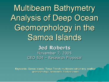
1
Multibeam Bathymetry Analysis of Deep Ocean
Geomorphology in the Samoa Islands
- Jed Roberts
- November 7, 2005
- GEO 534 Research Proposal
Keywords Samoa Islands, Tonga Trench, multibeam
bathymetry, seafloor geomorphology, seamounts,
fracture zones
2
Image produced by the National Park Service
3
The Island Chain
Image produced by the National Park Service
4
Why Bother?
- Geomorphological interpretation of seafloor areas
never before studied with the aid of high
resolution data - Insights into the origin of the Samoa island
chain - Identification and cataloging of previously
unknown seamounts - Associated with patterns of volcanism
- Important as marine habitats
5
Methodology
- Compilation of raw 200-meter resolution multibeam
bathymetry datasets to create one seamless,
georeferenced dataset - Data collected during several separate cruises
operated by OSU, University of South Florida, and
the Scripps Institution of Oceanography - Comparison of Samoa seafloor geomorphology with
that of similar locales throughout the world
6
Tectonic Scheme
Original image provided by GEsource
7
MultibeamSonar!
Bathymetric data is derived from acoustic
backskatter
Image provided by www.reson.it
8
Multibeam Bathymetric Data in Samoa
Data collected during the 2002 Revelle Cruise,
courtesy of Dawn Wright
9
Budget Summary
- Data already acquired!
10
Research TimelineJanuary 1, 2006 January 1,
2007
- Data compilation (January)
- Literature review (February-March)
- Visualizations and modeling (April)
- Analysis and interpretation of features and
processes (May-August) - Documentation of findings thesis
(September-November) - Submittal of seamount data (December)
11
Funding Sources
- National Science Foundation Graduate Research
Fellowship Program (GRFP) - National Science Foundation Division of Ocean
Sciences - Marine Geology and Geophysics Grant
- MARGINS Program (continental margins)
12
Gimme Money!
Recommended
CrystalGraphics Presentations


