
The Instructor - PowerPoint PPT Presentation
1 / 2
Title:
The Instructor
Description:
This two-day course introduces students to ArcGIS and provides the foundation for becoming a successful ArcView 9.x, ArcEditor 9.x, or ArcInfo 9.x user. – PowerPoint PPT presentation
Number of Views:41
Avg rating:3.0/5.0
Title: The Instructor
1
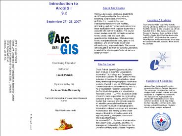
Introduction to ArcGIS I 9.x September 27 -
28, 2007
Location Lodging
The workshop will be held in the Remote Sensing
Laboratory at the MS e-Center at JSU. The MS
e-Center at JSU is located just off I-20. Take
Exit 42-A to Ellis Avenue South exit Proceed to
Raymond Road and take a Right. The MS e-Center _at_
JSU will be about a mile on the RIGHT. It is
located on the corner of West Highland and
Raymond road. It is a large two-story building
with a security fence around the perimeter.
The Instructor
Continuing Education
Instructor Chuck Patrick
Chuck Patrick (cpatrick_at_jsums.edu) has been
involved in Scientific Visualization,
Information Technology and Geographic
Information Systems for eight years. He has
extensive knowledge in visualization, virtual
reality technology and geographic
information systems. Currently, hes an ESRI
Authorized Trained Instructor for Introduction
to ArcGIS I. As a visualization research
specialist for the Trent Lott Geospatial and
Visualization Research Center (TLGVRC) at
Jackson State University, he is responsible for
constructing computer graphics, imagery, and 3D
virtual models that represent and provide
analysis of scientific, geospatial and terrain
data. He conducts visualization and geographic
Information systems workshops and seminars. His
education and training covers a wide range of
disciplines, including urban and regional
planning, computer science and information
technology. He received B.S. in Business
Administration from Alcorn State University, and
M.S. in Management Information Systems form the
University of Maryland European Programs.
ATTN Chuck Patrick Trent Lott Geospatial and
Visualization Research Center Mississippi
E-Center _at_ Jackson State University 1230 Raymond
Road Jackson, MS 39204
Equipment Supplies
Jackson State University will provide access
to the Remote Sensing Laboratory. The computers
in the laboratory will be equipped with required
software and data necessary to complete the
coursework. The instructor will supply
additional packet with materials to answer many
common questions about map design, the field
calculator, common tasks, data formats and
ArcGIS products. Students should bring a notepad
and pencil.
Sponsored by the
Jackson State University Trent
Lott Geospatial Visualization Research Center
http//vislab.jsums.edu/
U.S. Postage Required
2
- Program Agenda
- September 27, 2007
- Breaks will be at midmorning and mid-afternoon
- Thursday
- (September 27,, 2007)
- 830 A.M. Registration
- 900 Introduction Exploring GIS
- Concepts
- - What is a GIS?
- - Representing Vector
- Frames
- - ArcCatalog
- - ArcMap
- - ArcToolbox
Registration
Introduction to ArcGIS I Course Detach and mail
Pre-registration Form September 27 - 28,
2007 _______________________________ Name ____
____________________________ Organization ______
__________________________ Street
Address _________________________________ City
_________________________________ State
Zip _________________________________ Phone _
________________________________ Email Name to
be printed on name tag _________________________
_______ Registration fee enclosed 250
Purchase order is being processed (Copy of
Purchase Order must be faxed/mailed to instructor
prior to day of class. If not, Student will not
be registered.)
- Friday
- (September 28, 2007)
- 830 A.M. Working with Tables
- - Tabular Data Field Types
- - ArcGIS Tabular Formats
- - Joins and relates
- - ArcMap Report Writer
- 1000 Break
- 1020 Editing Data
- - Simple Editing Functions
- - Working with Sketches
- - Editing Vertices
- - Field Calculator
- Noon Lunch (on your own)
Introduction to ArcGIS I 9.x
Recommended
CrystalGraphics Presentations


