
Earth System Science - PowerPoint PPT Presentation
1 / 10
Title:
Earth System Science
Description:
Terra's purpose as a satellite is to observe the Earth as it goes around the earth daily. ... ASTER [Advanced Space borne Thermal Emission and Reflection Radiometer] ... – PowerPoint PPT presentation
Number of Views:47
Avg rating:3.0/5.0
Title: Earth System Science
1
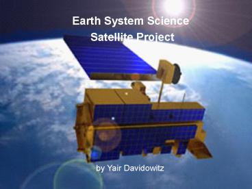
- Earth System Science
- Satellite Project
by Yair Davidowitz
2
Goal
- To investigate satellites that monitor the
Earth's atmosphere.
3
Topic Land
- Terras purpose as a satellite is to observe the
Earth as it goes around the earth daily. - Terra Mission- was launched in December 1999, by
NASA National Aeronautics and Space
Administration. - It carries up to 5 different cameras to identify
certain degrees on the Earth. - They are
- ASTER Advanced Space borne Thermal Emission and
Reflection Radiometer - CERES Clouds and the Earth's Radiant Energy
System - MISR Multi-angle Imaging SpectroRadiometer
- MODIS Moderate-resolution Imaging
Spectroradiometer - MOPITT Measurements of Pollution in the
Troposphere
4
Vocabulary
- Spectroradiometer-- designed to measure the rate
of imaging of Terras images that it picks up
every time it takes a picture from space. - Clouds and the Radiant Energy System (CERES) -It
is designed to measure the Earth's radiation flux
and provide estimates of cloud properties of the
surface of the Earth. definition from wikipedia
- Radiation Flux--is a measure of the flow of
radiation from a given radioactive source.
definition from wikipedia - ASTER-- provides high-resolution images of the
Earth in 14 different wavelengths of the
electromagnetic spectrum, ranging from visible to
thermal infrared light. The resolution of images
ranges between 15 to 90 meter. ASTER data is used
to create detailed maps of surface temperature of
land, emissivity, reflectance, and elevation.
definition from wikipedia - MOPITT-- designed to monitor changes in pollution
patterns and its effect in the lower atmosphere
of the Earth. definition from wikipedia
5
Terras Studies
- This satellite measures various things
- They are
- clouds
- water vapor
- aerosol particles,
- trace gases,
- terrestrial and
- oceanic properties,
- the interaction between them and their effect on
atmospheric radiation and climate. - changes in Earth's radiation budget (a
measurement of all the inputs and outputs of the
Earth's radioactive energy), - together with measurements of changes in
land/ocean surface and interaction with the
atmosphere through exchanges of energy, carbon,
and water. And to make scientists understand
global climate change a whole lot better.
6
ASTER
- Provides high-resolution images of the Earth in
14 different wavelengths of the electromagnetic
spectrum, ranging from visible to thermal
infrared light. - Aster's data is used to create detailed maps of
surface temperature of land, emissivity,
reflectance, and elevation.
7
CERES
- It started in orbit around 1999, and the second
batch of information from CERES, was in May 2002. - Purpose- to measure the Earth's radiation
instability and provide estimates of cloud
properties of the surface of the Earth.
8
Resources
- Earth Observing System Posters Land
- NASA Website (www.nasa.gov)
9
PicturesOf TERRA
10
Why I picked.
- I picked this satellite because it is measuring
several things which I am overly concerned about,
such as the weather, and mostly about pollution.
The determination of how much pollution is in the
air in the Earths Atmosphere.
Recommended
CrystalGraphics Presentations


